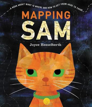
Mapping Sam by Joyce Hesselberth

Each night after Sam the cat has made sure that the family are safely tucked in bed, she goes on a nighttime wander.
But rather than this being a tale of what she does and who she meets while she is out, this story is the impetus for exploring how maps are used to "tell us how to get from here to there" and "tell us what is where". It is a unique introduction to the purpose of information illustrations like maps, charts and diagrams and how they can be used so that a picture does indeed, tell 1000 words.
By using an inquisitive cat whose favourite place is atop what will be the highest building in the neighbourhood (shown through a birds-eye-view map) this is a clever story that engages the reader because they become invested in Sam's explorations rather than being confronted by dry explanations. As Sam follows her customary path, wandering farther and farther away from home, readers encounter different kinds of maps illuminating different points of view and the various spots Sam visits. Finally, when Sam reaches her favourite place and confirms that all is well, she heads back home, climbs onto a cosy bed, and falls asleep.
Thus the reader comes away with having enjoyed a story as well as new knowledge, knowledge that is consolidated by two pages of background information just to draw all the concepts together.
For those who think that maps are confined to using the sat nav or Google maps, this is an excellent introduction to the variation and purpose of maps and the importance of being able to read, interpret and perhaps even create our own. They are so much more than the stereotype Boy Scout activity!
Teachers notes created by the author are available.
Barbara Braxton